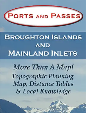
Description
More Than A Map! On the front face of the map is a detailed topographic planning map and on the back, are extensive distance tables and valuable local knowledge of the tides and currents for the Broughtons and Mainland Inlets.
| Weight | .1 kg |
|---|---|
| Dimensions | 23 × 10 × 2 cm |

Reviews
There are no reviews yet.